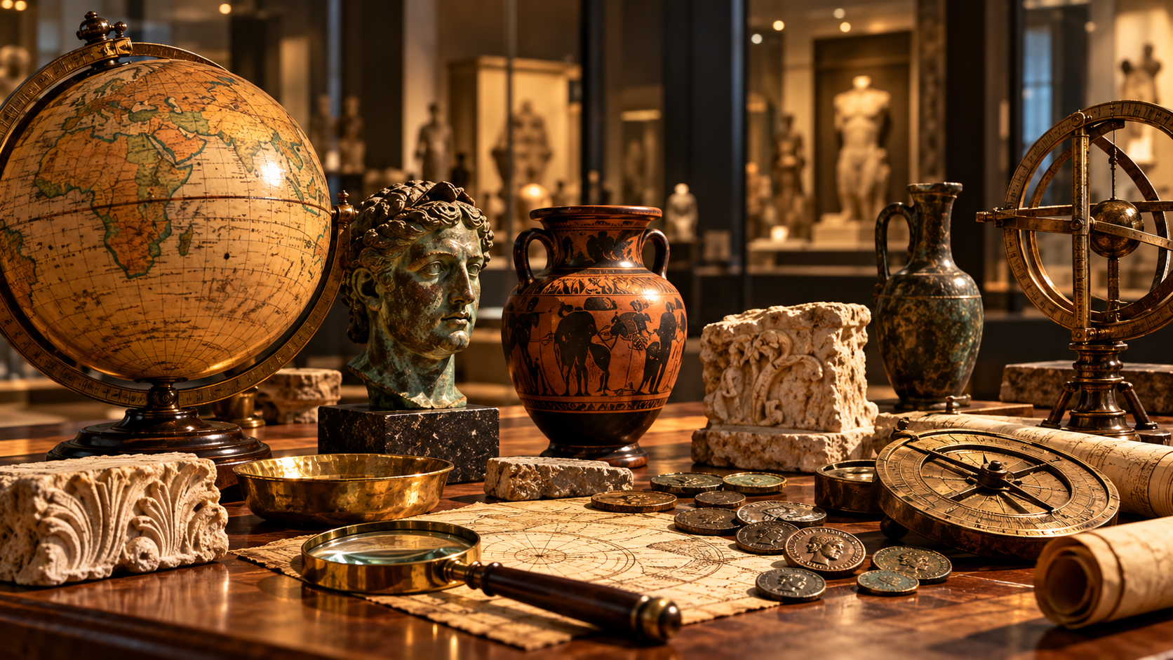
Charting the Course: How Maritime Navigation Shaped Early Global Trade
An exploration of how the development of navigation tools and seafaring skills forged the first extensive trade routes, linking distant civilizations and spreading ideas across the world.

AI-generated
The Dawn of Seafaring
The earliest humans were hunters and gatherers who moved across coastlines in small, open‑water vessels. Over time, these simple boats evolved into more sophisticated ships capable of crossing open seas. Archaeological evidence from the Mediterranean, Indian Ocean, and East Asian coasts shows that by the first millennium BCE, societies such as the Phoenicians, Greeks, and Chinese were already building larger vessels for trade and exploration.
The ability to travel by sea opened new possibilities for commerce. Goods that were once confined to local markets—spices from the East, silk from China, precious metals from the Americas—began to circulate on a global scale. This maritime expansion was not merely a matter of distance; it required an understanding of the sea’s patterns, currents, and winds, as well as the ability to read the sky.
Key Navigation Instruments
The Compass and Its Predecessors
The magnetic compass, first recorded in Chinese texts of the 11th century CE, revolutionised navigation by providing a reliable reference point regardless of weather conditions. Prior to its widespread use, mariners relied on celestial navigation, using the sun, stars, and the North Star to determine latitude. The introduction of the compass allowed sailors to maintain a consistent bearing even when the horizon was obscured by cloud or fog.
The Astrolabe and Quadrant
The astrolabe, developed in the Hellenistic world and refined by Islamic scholars, enabled navigators to measure the altitude of celestial bodies and thus calculate latitude. The quadrant, a simpler tool, served a similar purpose and was more accessible to merchant crews. These instruments were crucial for long voyages, where accurate position estimates could mean the difference between reaching a port and becoming lost at sea.
The Sextant and Chronometer
In the 18th century, the sextant replaced earlier devices, offering greater precision in measuring angles between celestial bodies and the horizon. Coupled with the invention of the marine chronometer, which provided accurate timekeeping, sailors could determine longitude—a problem that had plagued seafarers for centuries. Although these innovations came after the earliest global trade routes, they built upon centuries of accumulated knowledge about the sea.
Maritime Routes and Cultural Exchange
The Indian Ocean Circuit
The Indian Ocean was a bustling hub of commerce long before European contact. Traders from the Arabian Peninsula, East Africa, India, and Southeast Asia exchanged goods such as frankincense, spices, textiles, and ceramics. The monsoon wind patterns, which reversed seasonally, were well understood by Arab and Indian merchants, allowing them to time their voyages for optimal sailing conditions.
The Mediterranean Sea
In the Mediterranean, the Phoenicians pioneered the use of standardized shipbuilding techniques and developed a network of trading posts across the basin. Their mastery of navigation enabled them to transport cedar wood from the Levant, tin from Britain, and grain from Egypt. The Greeks later expanded these routes, establishing colonies in Asia Minor and the Black Sea, further spreading Greek culture and technology.
The Trans‑Atlantic Connection
While the trans‑Atlantic routes were largely established by Europeans in the late 15th and early 16th centuries, earlier maritime interactions across the Atlantic were limited. Nevertheless, the exchange of ideas and goods across the Atlantic eventually led to the Columbian Exchange, which reshaped global agriculture, cuisine, and demography.
Cultural Transmission
Maritime trade was not just about commodities; it facilitated the movement of ideas, religions, and technologies. The spread of Buddhism from India to East Asia, the diffusion of papermaking techniques from China to the Middle East, and the introduction of new crops such as potatoes and maize to Europe are all testaments to the cultural impact of seafaring.
Legacy of Early Maritime Trade
The foundations laid by early navigators continue to influence modern shipping and international trade. The development of standardized measurement systems, such as the metric system, can be traced back to the need for consistent trade practices. Moreover, the global distribution of goods and cultural practices that began with these ancient routes has shaped contemporary societies.
Understanding the history of maritime navigation offers valuable insights into how technological innovations can drive economic and cultural change. It reminds us that the pursuit of knowledge—whether of the stars or the sea—has always been a catalyst for connecting peoples across the world.
References
- Historical Systems Evergreen — historical-systems-evergreen · primary